Get to know the country others only dream of.


Dalton Highway, Yukon, Arctic Circle
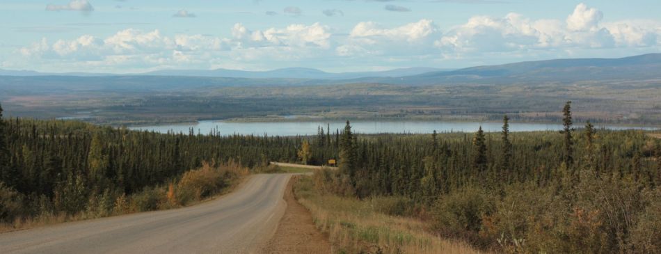
The Dalton Highway is a long bumpy and gravel road. The edges are not paved. It was built as an access road for the construction of the northern section of the Trans- Alaska pipeline. Total length is 414 miles and it runs from the intersection with Elliot Highway to the Arctic Ocean. The last town on this road is called Deadhorse.
It is a very busy highway. There are dozens of tracks in both directions. Sometimes you cannot see the curves due to dust. You have to be properly equipped. First, you have to refuel, because the frequency of gas stations is more than rare. You need to have spare parts for your car, tow rope, spare tire etc… You also need enough food and drink and if your group have only one car, it is good to have a sleeping bag with you.
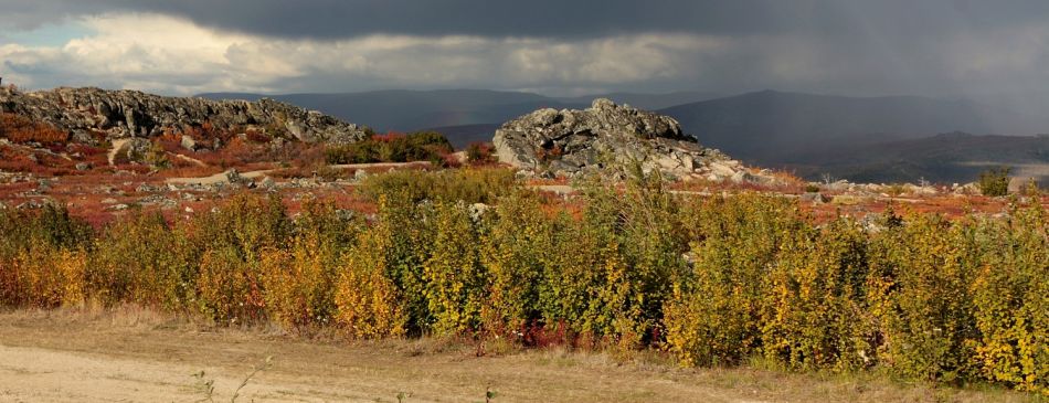
On the other hand, the scenery along the road is absolutely astonishing. Scandinavian forests, high mountains, clear rivers. It is the end of August. Alaska is ready for fall, which is reflected in a huge variety of colors all around. Gold leaves alternate red-glowing tundra.
Dalton Highway reaches the Yukon River nearby 56 mile. There is a 2,290 feet long Yukon River Bridge, which takes you over the Yukon River. At 115 mile you cross the Arctic Circle “Wayside”. It is exactly at 66o 33´ latitude. It is a real land of midnight sun. During the summer solstice, there is no sunset for one day. At the winter solstice, the sun does not rise for one day.